23 October 2026 · 5 min read
Preparing a KTM for an Off-Road Tour in Bosnia
Six riding days, around 1,500 km, 70% off-road: how to prepare your KTM – from EXC to Adventure – for the Bosnia Marathon.
Read morePreparation
On an off-road motorcycle tour, navigation decides whether you spend the day riding or searching. Gravel roads and forest tracks have few signposts, mobile coverage drops out in the valleys, and one missed junction can take you a long way in the wrong direction.
This guide explains the difference between GPX tracks and routes, which device to use, and how to sort out offline maps, mounting and power. It also covers what to do when you lose the track and how navigation works in practice on the Bosnia Marathon.
A GPX file can contain two very different things. A track is a recorded line made of many closely spaced points – exactly the line someone actually rode. A route contains only a handful of waypoints, and your device calculates the path between them using its own map.
Off-road, that distinction is critical. Many gravel tracks are missing from road maps or classified wrongly, so a recalculated route may send you to the nearest tarmac road or down a track that is not rideable at all. A track simply shows you the checked line.
A dedicated motorcycle or outdoor GPS is rugged, waterproof, readable in bright sunlight and usable with gloves. It works without mobile signal and can be wired permanently to the bike. The downsides are cost and sometimes fiddly imports.
A smartphone with an off-road navigation app is cheap and flexible, but it is more sensitive to vibration, heat and rain, harder to read in the sun and hard on its battery. Many experienced riders use both: the GPS unit as the main navigator and the phone, loaded with the same tracks, as a backup.
Whichever you choose, look for:
Never rely on mobile data. Download maps for the whole area before you leave – for a Bosnia trip that means the entire country plus your transit route. The map should show minor and forest tracks.
Gravel means constant vibration. A solid mount with a secure lock is essential, and a phone should also sit on a vibration dampener, because shocks can damage the camera's image stabilisation. Position the screen so you can read it with a quick glance while standing on the pegs.
For power, fit a permanent USB socket or a cable wired directly to the bike, and check that the connector stays sealed in the rain. A small power bank and a spare cable in the tank bag are cheap insurance.
On the Bosnia Marathon there are two GPX tracks for each of the six riding days: a longer, more technical Rally route and an easier Classic route recommended for beginners and large adventure bikes, with a tarmac option for individual sections. You receive the files by email in advance, and at registration in Kupres the team helps you load them onto your GPS or smartphone.
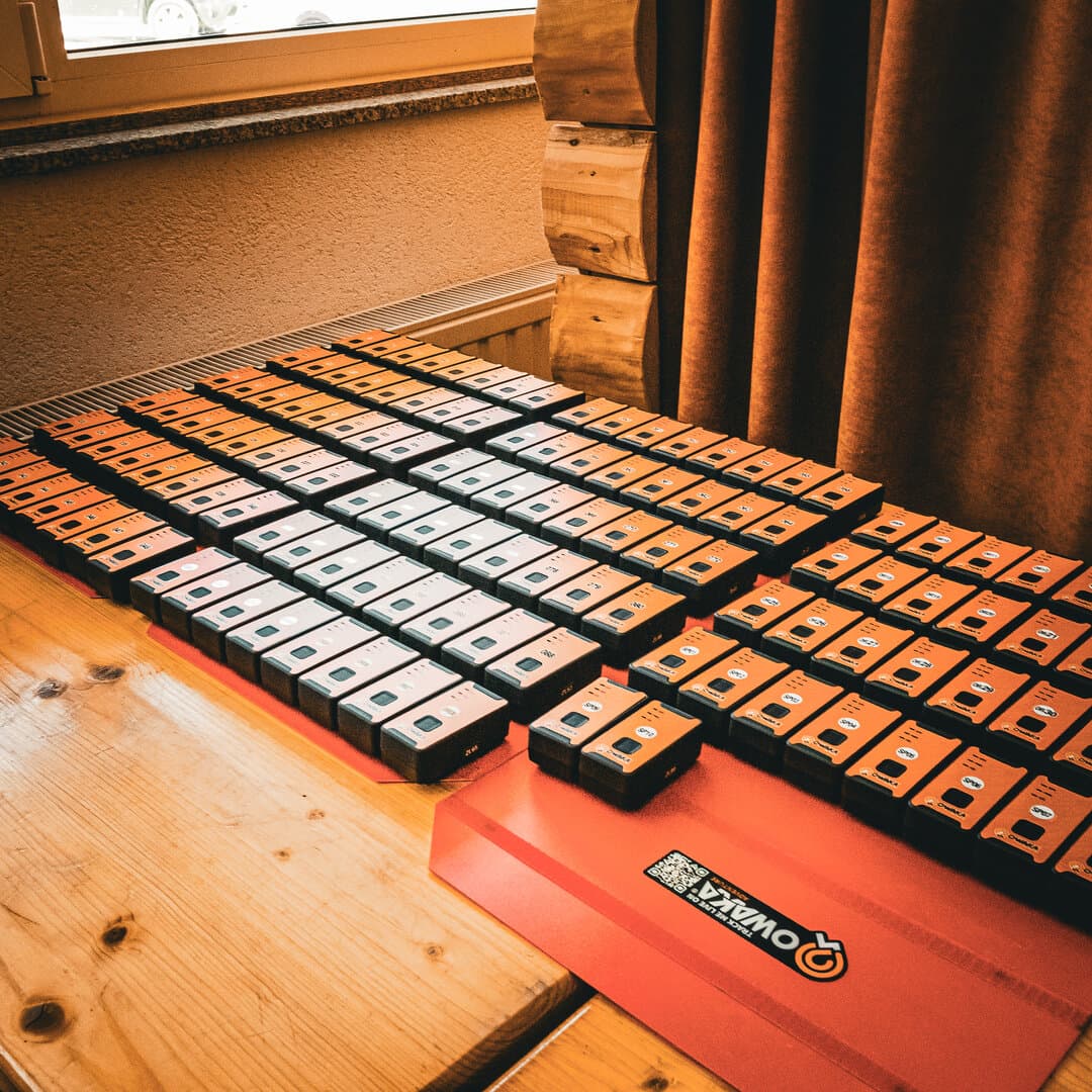
At registration you are also issued an OWAKA GPS device. It is not a navigator: it provides tracking throughout all six riding days and, together with the emergency team, is a key part of the safety set-up. You still navigate yourself, because you ride independently, alone or in smaller groups. Our guide to riding off-road safely in a group explains how to make that work.
Bosnia still has mine-suspected areas, mainly along former front lines. Roads and regularly used tracks are safe; the risk starts when you leave them. That is why you always stay on the official tracks. Read more in Off-road in Bosnia: rules and landmines.
Not necessarily. A smartphone with an off-road app and offline maps works if it is securely mounted and permanently powered. A rugged GPS unit copes better with rain, sun and vibration, and using both is ideal.
A track is the exact recorded line of a ride. A route is a few waypoints, and your device calculates the path in between – off-road, that often leads onto the wrong tracks.
No. The OWAKA device is issued on site and provides GPS tracking during the six riding days. You navigate with your own GPS or smartphone using the Rally and Classic GPX tracks.
By email before the event. At registration at Hotel Adria Ski in Kupres, the team helps you load them onto your device.
23 October 2026 · 5 min read
Six riding days, around 1,500 km, 70% off-road: how to prepare your KTM – from EXC to Adventure – for the Bosnia Marathon.
Read more23 October 2026 · 5 min read
Which tyre for which tour? An overview of knobbly, 50/50 and 70/30 tyres, tubes versus tubeless, puncture repair and tyre age.
Read more23 October 2026 · 6 min read
What goes on the bike and what stays at the Kupres base? Our checklists for riding gear, tools, navigation, documents and money.
Read more